Schedule Your Home Inspection Local & Certified
Wildfire Risk Assessment
Visual insight to help homeowners better understand wildfire exposure
A drone-based wildfire risk assessment that provides a clear, visual overview of property-specific exposure factors to help homeowners and buyers better understand risk and identify practical next steps.
Who This Service Is For
This service is designed for property owners in the Colorado foothills, mountain communities, and anywhere within the Wildland–Urban Interface (WUI) where wildfire exposure is a concern.
It is particularly useful for:
Homebuyers who are interested in a property located in a higher-risk area and want to better understand wildfire-related considerations before moving forward
Homeowners who want clear, practical insight without navigating agency programs or formal mitigation processes, this assessment offers a straightforward, easy-to-schedule way to gain a better understanding of wildfire-related considerations around the property.
Sellers who want to proactively address wildfire-related questions and present their property with greater confidence
Considering a Property in a Higher-Risk Area?
If you love a property but have concerns about wildfire exposure due to its location, surroundings, or terrain, this assessment can provide additional clarity. By visualizing roof conditions, vegetation patterns, slopes, and nearby features, the report is intended to support informed decision-making—not to discourage a purchase, but to better understand what factors may deserve attention.
Standalone or Add-On Service
The Wildfire Risk Assessment can be scheduled as a standalone service or added to a full home inspection, where available. When combined with a home inspection, drone imagery and site observations are coordinated to provide a more complete visual understanding of the property.
What This Service Includes
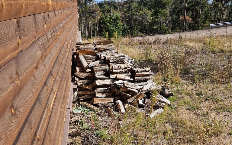
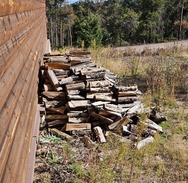
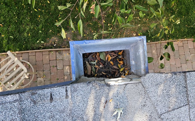
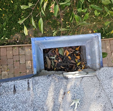
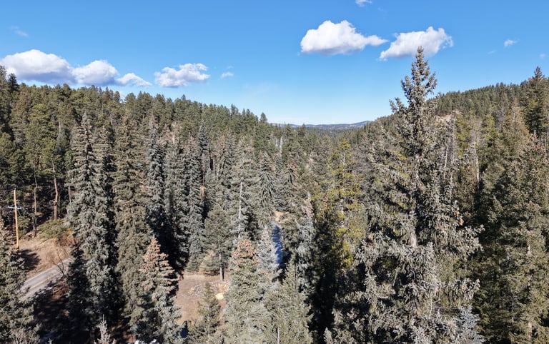
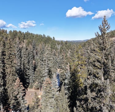
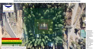
Aerial drone imagery of the roof, structure perimeter, and surrounding vegetation
Review of publicly available wildfire risk and hazard mapping (for general context)
Visual identification of factors such as:
roof and gutter conditions
vegetation proximity
slope and terrain influences
decks, fences, and attached structures
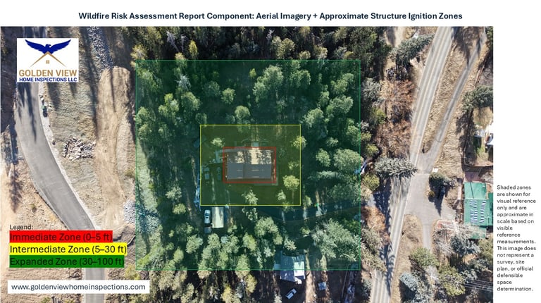
Approximate structure ignition zones shown for visual reference
Annotated aerial and ground images with written observations
Prioritized, property-specific risk-reduction recommendations
What This Service Is — and Is Not
This service is:
A visual, non-invasive assessment
Educational and property-specific
Intended to support awareness and planning
This service is not:
A code compliance inspection
A defensible space certification
A wildfire hazard classification
A guarantee of structure survivability
Final determinations regarding wildfire hazard classifications and mitigation requirements are made by local authorities.
Deliverables
PDF Wildfire Risk Assessment Report
Annotated ground & aerial imagery
Visual overview of structure ignition zones
Clear, prioritized recommendations
Important Notes & Limitations
Wildfire behavior is influenced by many factors—including weather, wind, terrain, vegetation, and conditions beyond the property—and can change rapidly. This assessment reflects visible conditions and publicly available information at the time of review and is intended to support general risk awareness rather than predict wildfire behavior or outcomes.
Contact
felix@goldenviewhomeinspections.com
970-420-8291
© 2026. All rights reserved.


Based in Golden, Colorado, I serve the Front Range, foothills, and mountain communities — from Arvada and Lakewood south to Littleton and Castle Rock, out to Nederland, Evergreen, and Blackhawk, and along the 285, 24, and Highway 9 corridors through Leadville, Buena Vista, Breckenridge, Frisco, and beyond.